Montebello Islands
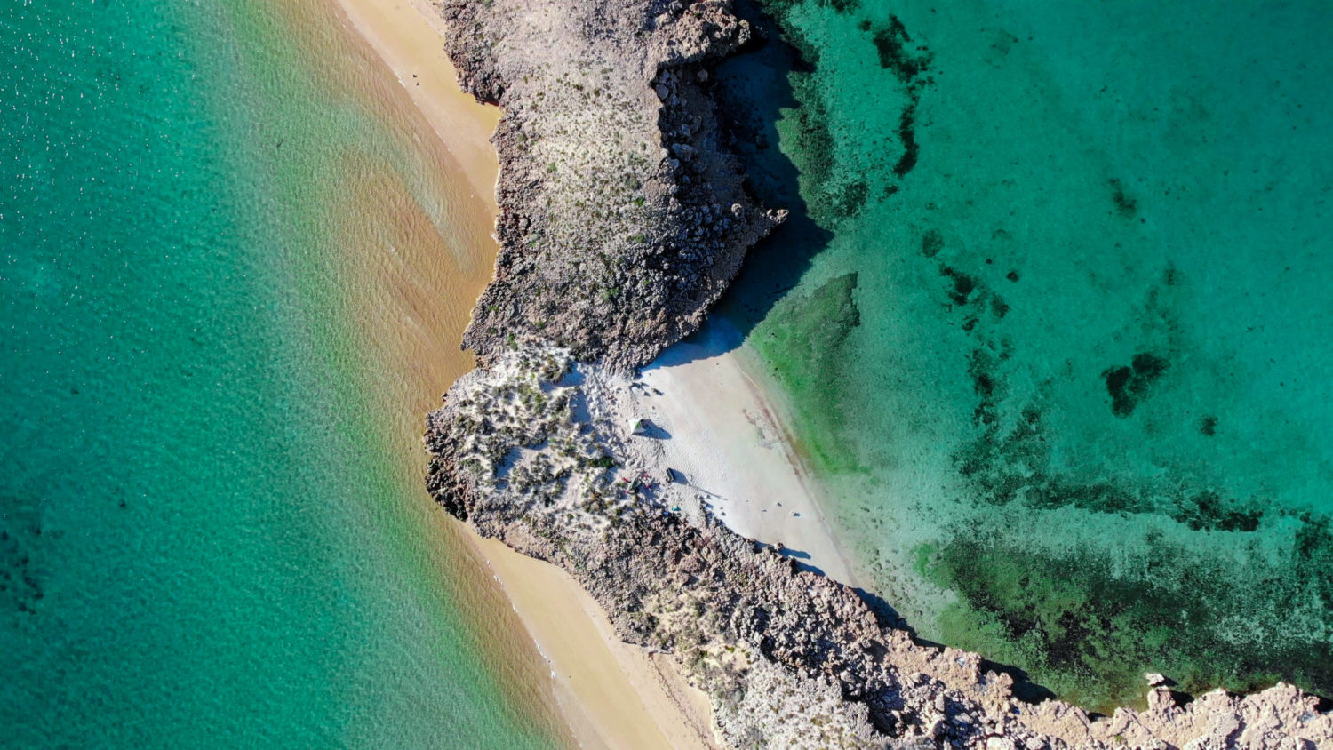
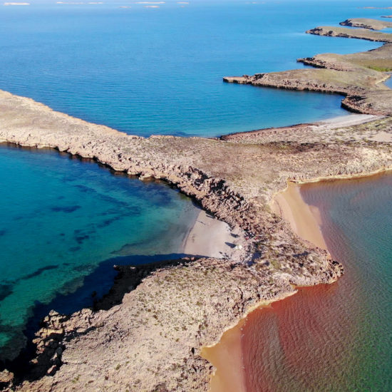
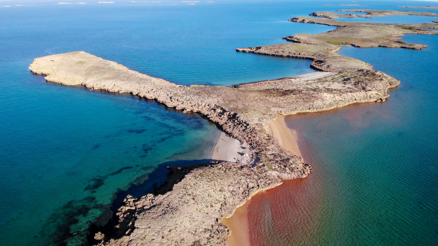
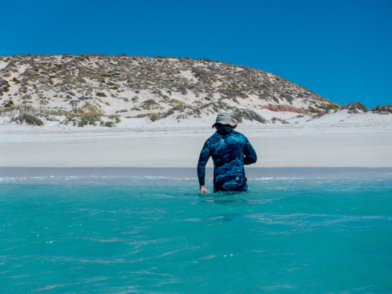
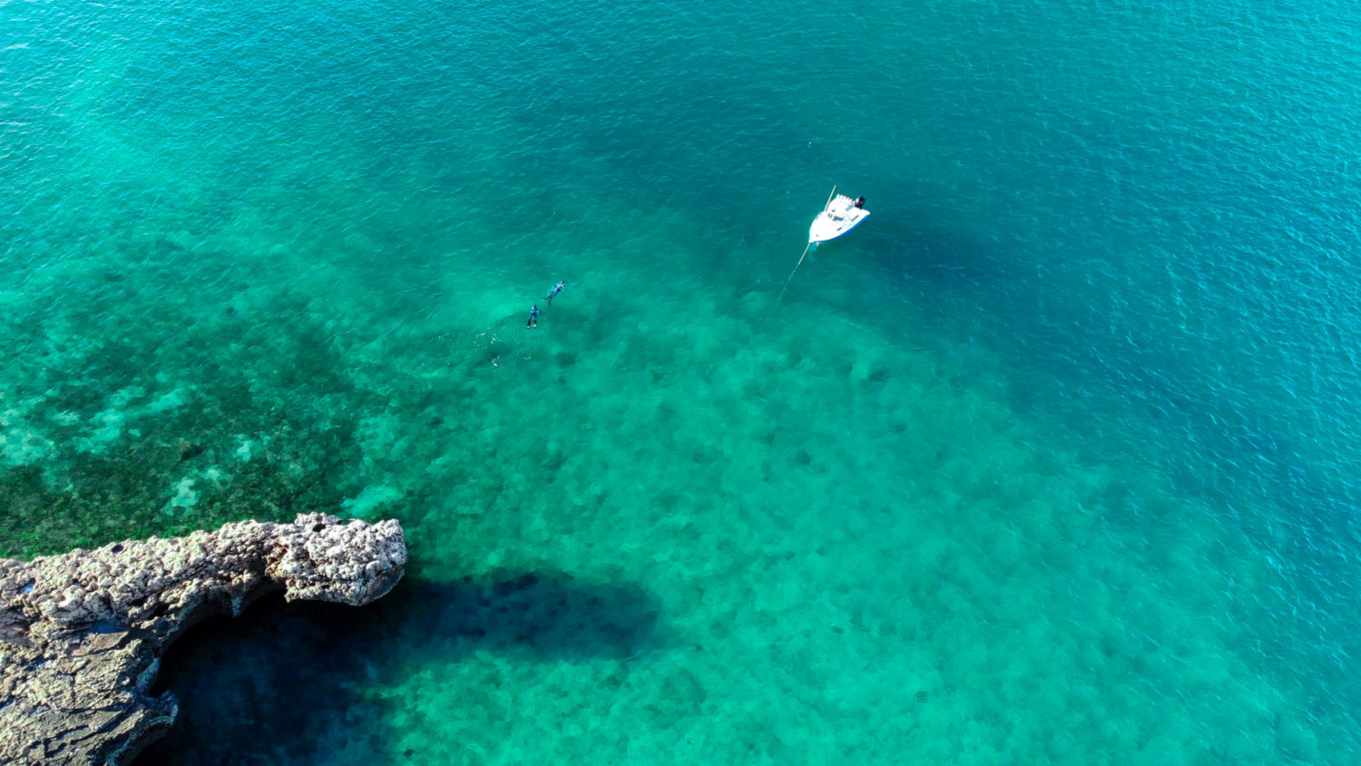
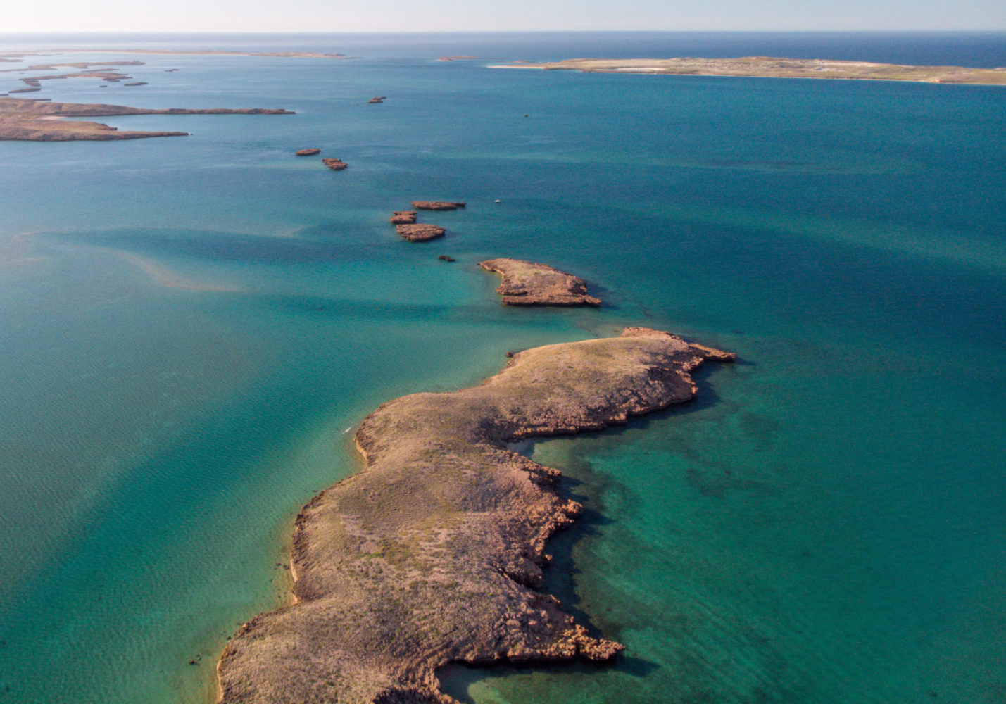
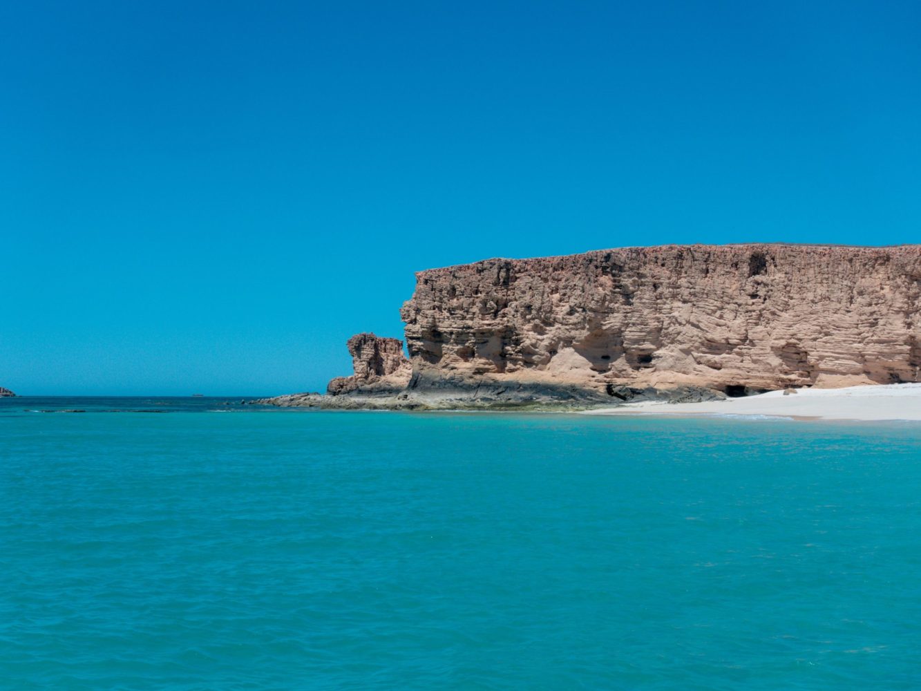
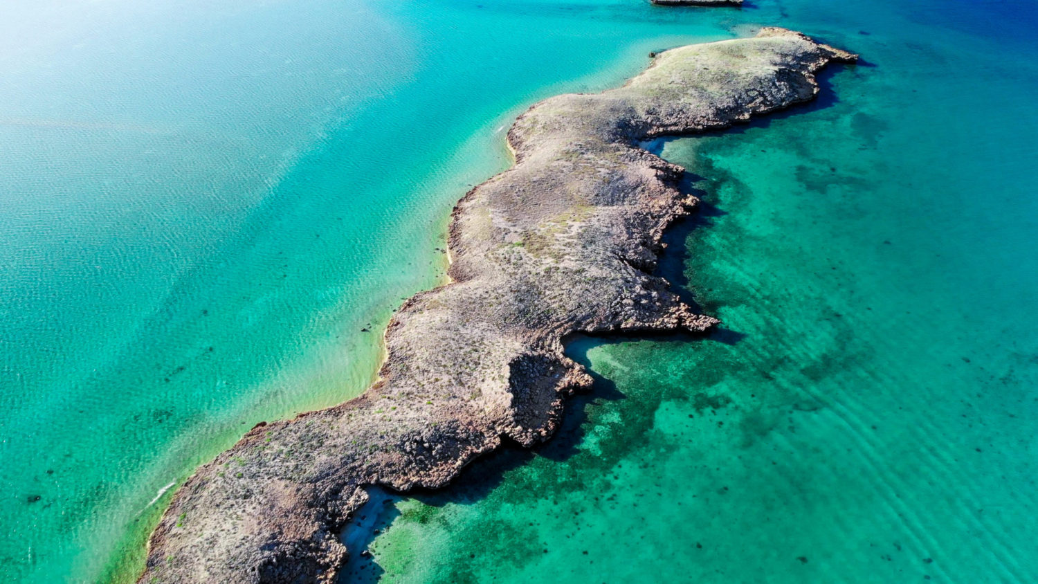
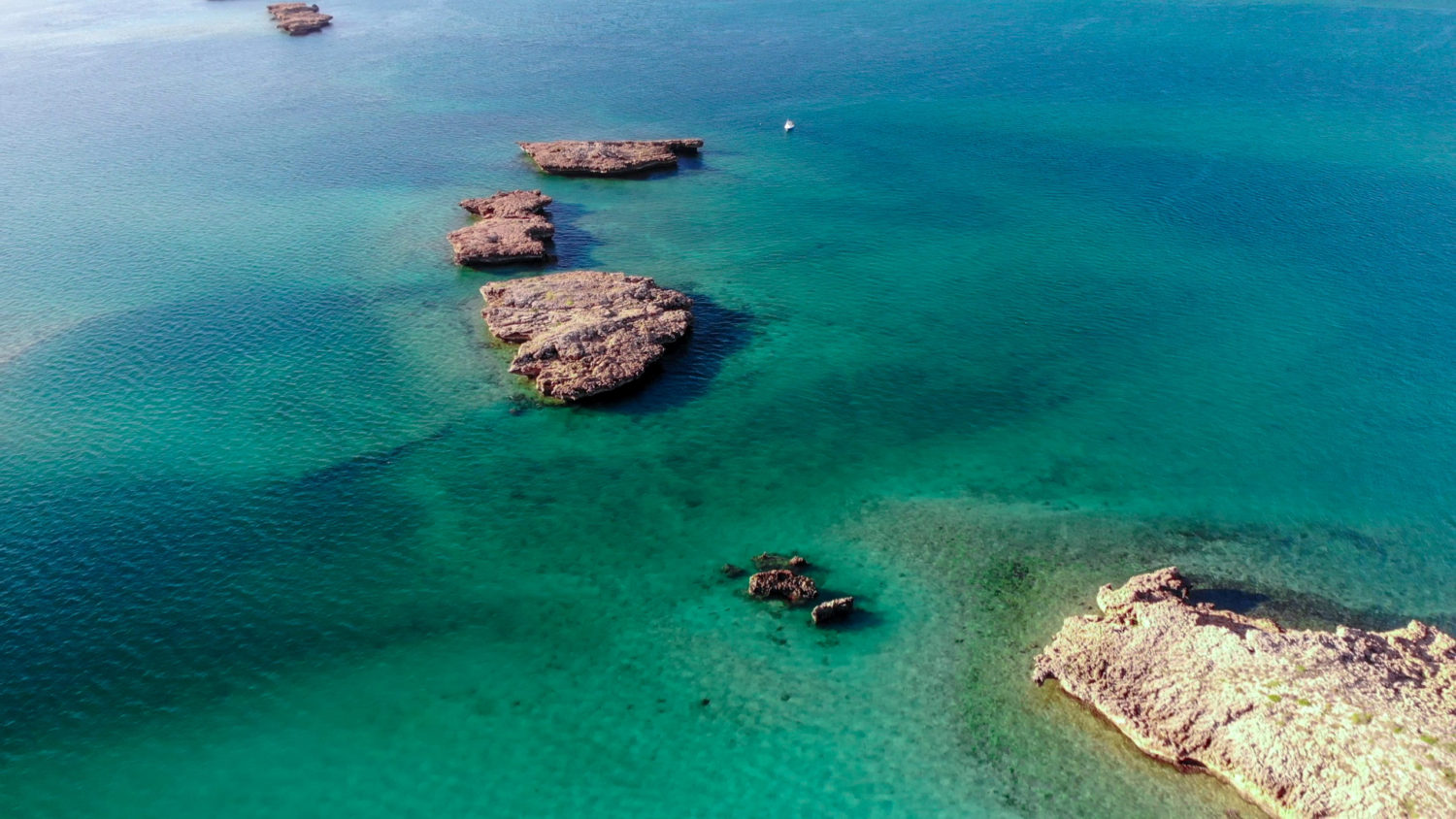
The Montebello Islands, known as the Monties to the locals, are an archipelago of around 174 small islands. They are located 20km north of Barrow Islands and 130km offshore the Pilbara Coast. The name Montebellow comes from Italian for “beautiful mountains”. The islands are in a conservation park. That the Western Australian Department of Environment and Conservation manage. The southern and northern part of the islands is a marine conservation reserve with strict fishing rules. So please make sure to check out the appropriate maps before heading out!
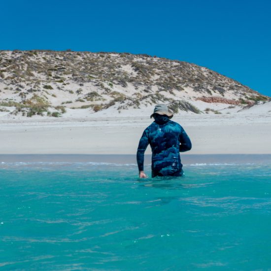
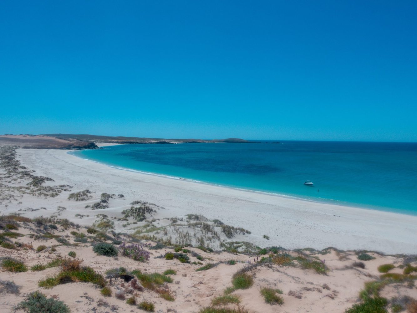
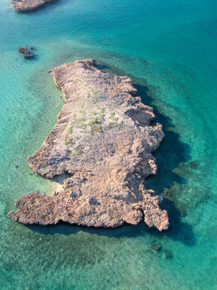
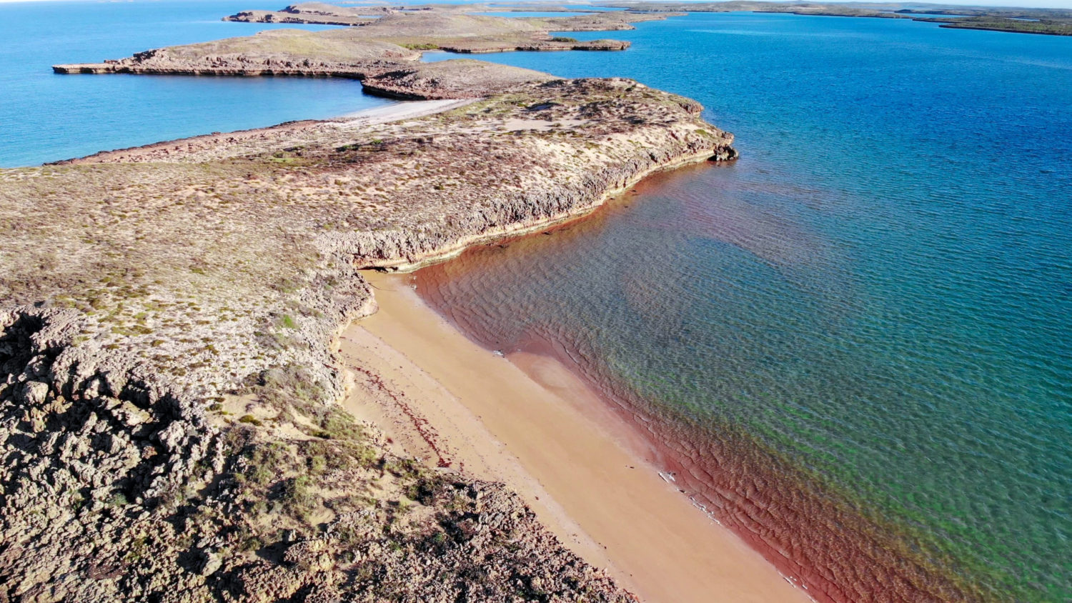
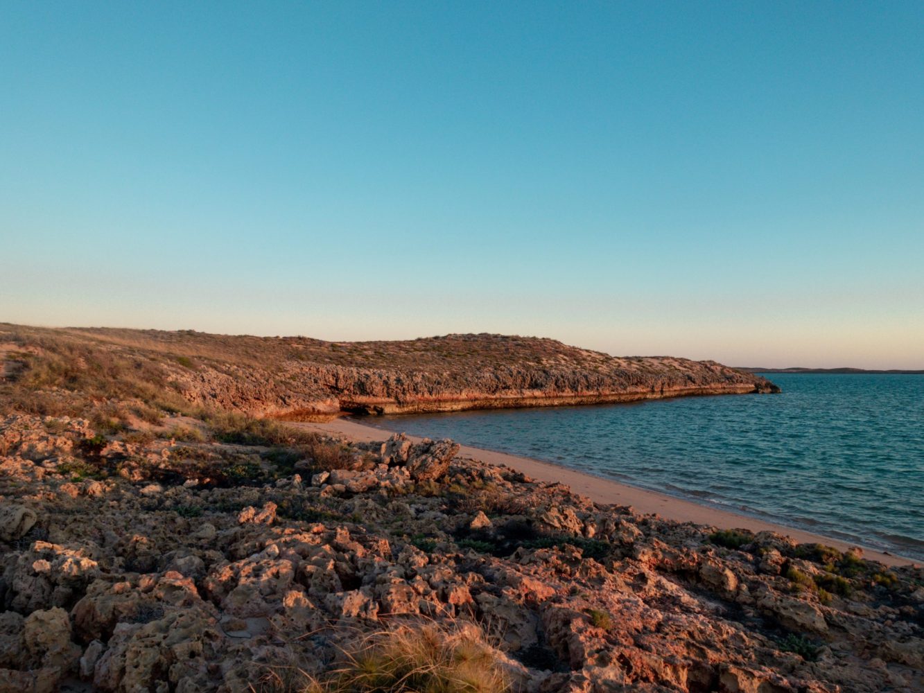
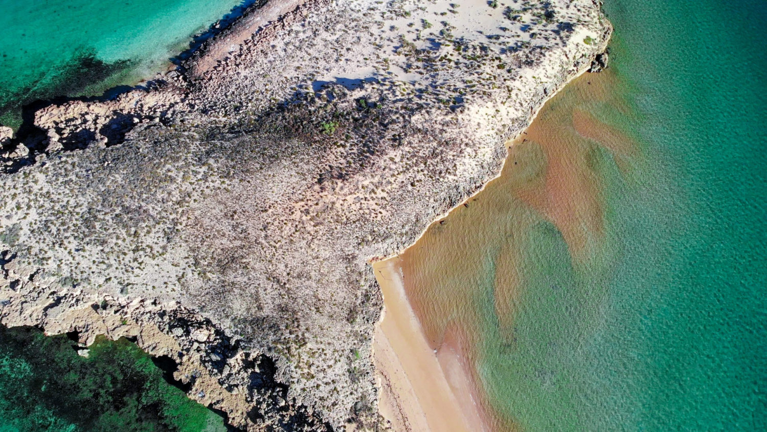
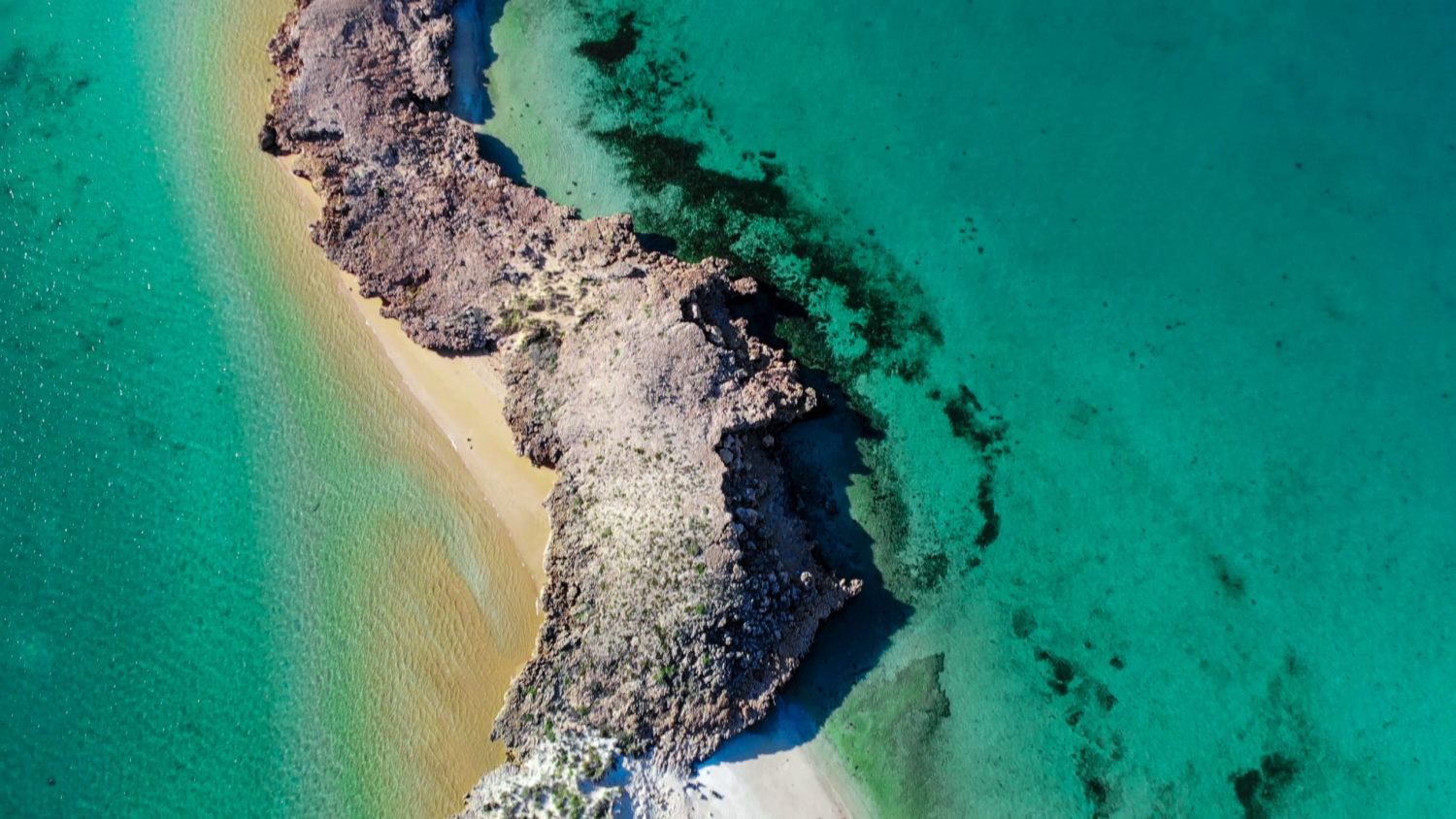
The islands consist of limestone rock and sand, they have spectacular cliffs, roughly growing plants, and a wide array of birds that use them as nesting sites. The rocky parts have hummock grassland and shrubs, while sandy areas have grasses, sedges, Acacia shrubs. In addition, there are a few areas where mangroves grow in the bays. The average rainfall here is only 320mm.
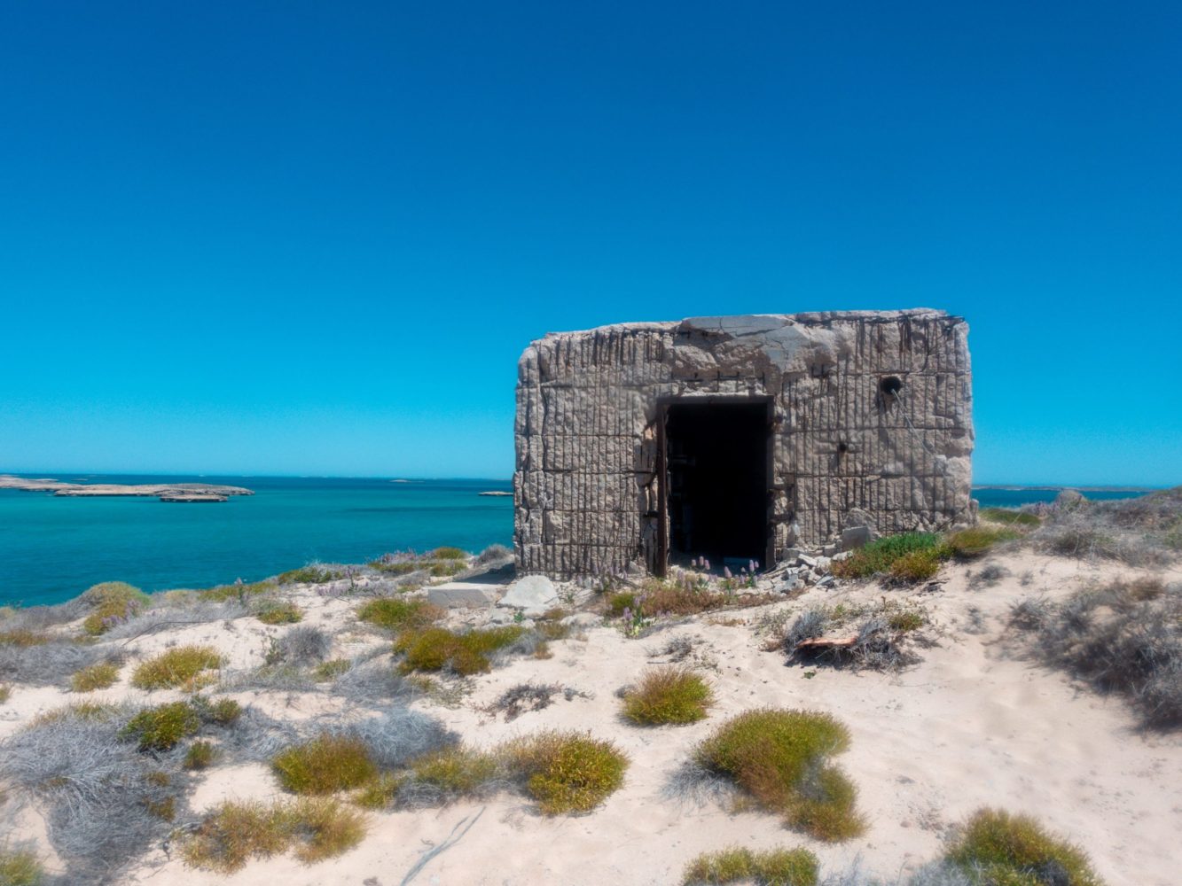
The islands are the site of three nuclear weapons tests by the British military in the 1950s. One nuclear weapons test was in 1952 and the other two in 1956. Most subsequent British tests were conducted on mainland sites in Australia, however, the second bomb detonated on the islands codenamed “G2” was the largest nuclear explosion in Australia with a yield of 98 kilotons. As a result, the fallout from the Montebello tests is reported to have contaminated areas of mainland Australia as far away as Queensland. Elevated radiation still occurs test sites on Trimouille and Alpha Islands, visitors should limit their visits to one hour per day. Be careful to not disturb the soil and do not handle or remove associated with tests.
-
Included
BoatingDivingDog FriendlyFishingKayakingSwimming
-
Not Included
4wdAccessibleBikingBoat RampCampingCulturalExerciseHiking
Location
The stunning 174 islands making up the beautiful Montebello Archipelago.
